
Digital Twin & 3D Reality Capture for Commercial Assets
High-detail photogrammetric 3D mesh models, dense point clouds, and interactive digital twins providing an enduring spatial record of commercial properties.
- ResponseOut-of-hours cover
- ComplianceStatutory testing & records
- EstatesCommercial & industrial
- ScopeHard & soft services
What We Inspect & Capture
A digital twin provides facilities managers, asset owners, and design teams with a persistent, measurable 3D representation of an entire building and surrounding site. EntireFM captures millions of photogrammetric data points to create interactive models that support remote inspection, space planning, and refurbishment.
Photogrammetric Reality Meshes
Textured 3D triangular surface meshes with photo-realistic resolution for visual inspection and marketing.
Dense LiDAR & Optical Point Clouds
Millions of georeferenced spatial points (LAS/LAZ) suitable for CAD modeling, clash detection, and BIM authoring.
Web-Based 3D Model Viewers
Browser-based interactive portals allowing asset managers to measure heights, distances, and areas from their desks.
Historic Visual Baseline
Persistent 3D asset snapshots preserved in EntireCAFM for dilapidation claims and long-term capital planning.
Typical Facilities Management Applications
Real-world operational use cases where aerial drone surveys deliver maximum safety and commercial efficiency.
Remote Asset Inspection
Facilities directors inspecting high-rise roofs, facades, and plant decks from their desktop.
BIM Authoring & As-Built Verification
Generating dense point clouds for Revit modeling, clash detection, and fit-out design.
Space Planning & Refurbishment
Accurate 3D dimensions of plant rooms, courtyards, and external service yards.
Landlord Dilapidations Baseline
Creating an immutable 3D visual baseline at the start and end of commercial leases.
What We Look For
Common structural defects, waterproofing failures, and performance anomalies isolated during survey analysis.
Structural Envelope Distortion
Visual Indicator: Geometric deviation from original CAD drawings exceeding tolerance limits
Rooftop Plant Clash Hazard
Visual Indicator: Insufficient spatial clearance for new condenser banks or crane lifting paths
Parapet Height Compliance Variance
Visual Indicator: Edge protection dimensions falling below statutory HSE safety thresholds
Sample Technical Output Visualisations
Explore how raw aerial survey data is processed into structured, georeferenced engineering deliverables for property managers and building surveyors.

Single-Ply Membrane Lap Delamination
Category: Waterproofing BreachTargeted hot-air weld patch & perimeter mastic reseal via rope access technician.
What You Receive
Structured, georeferenced survey deliverables formatted for property managers, structural engineers, and CAFM databases.
3D Photogrammetric Reality Mesh
High-detail textured 3D model navigable in standard web browsers with measurement tools.
Dense Georeferenced Point Cloud
Millions of spatial points ready for direct import into Autodesk Revit and Navisworks.
Virtual Measurement Report
Verified deck square meterage, wall heights, and roof slope angles.
What happens if we
find a problem?
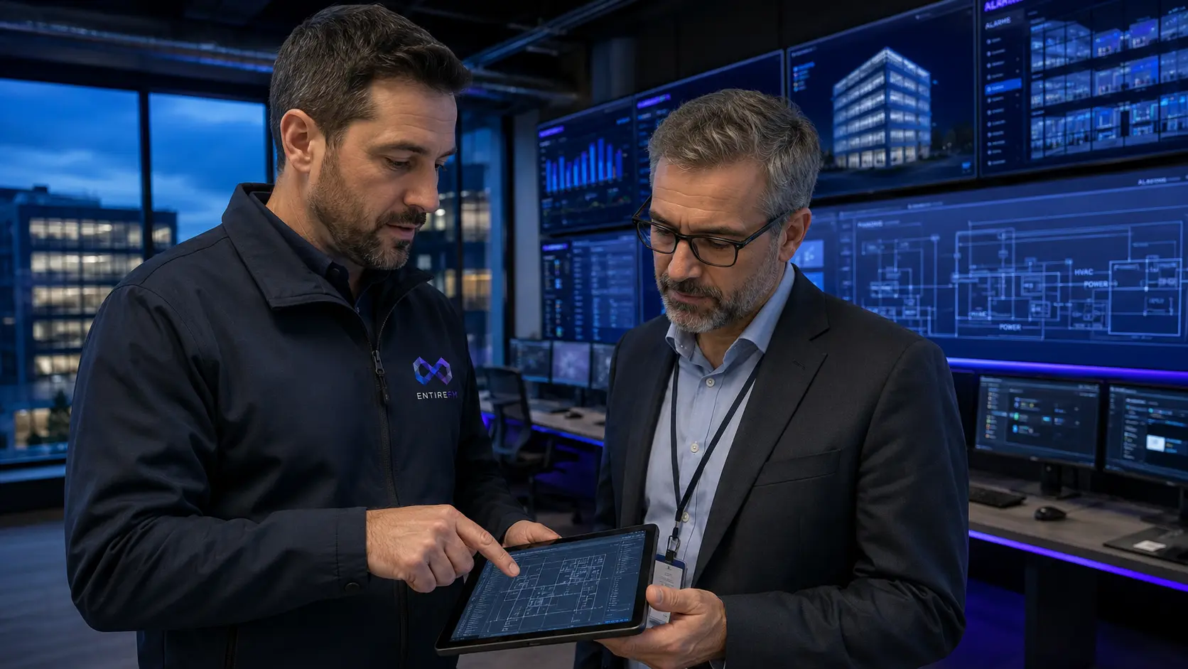
Digital twins link directly into EntireFM’s planned maintenance and project management delivery. By maintaining an accurate 3D model in EntireCAFM, our engineers plan plant replacements, lift operations, and rope access rigging with complete spatial certainty.
One Accountable Partner: We move seamlessly from inspection to investigation, quotation, specialist access, physical repair, and CAFM verification.
Related Facilities Management Services
Frequently Asked Questions
Frequently Asked Questions
Common inquiries regarding contract scopes, SLAs, compliance audits, and onboarding.
Digital twins allow facilities directors, insurers, and engineers to inspect complex roofs, facades, and plant decks remotely without travelling to site or hiring access equipment. Precise virtual measurements (distances, areas, volumes) can be taken directly within the browser, dramatically streamlining contractor scoping and tender packages.
Plan a Digital Twin & 3D Reality Capture for Commercial Assets
Provide your estate or property details below to receive a bespoke digital twin & 3d reality capture for commercial assets survey proposal and flight feasibility review.
Direct consultation with an aviation surveyor or regional engineering director.
Tender documents, RFQ schedules, and bespoke contract specifications.
Tell Us About Your Requirement
Provide brief estate details below and a regional engineering manager will review your requirement.